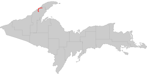
Know your Upper Peninsula Highways
The Upper Peninsula is full of unique roadways offering scenic views. Some sections are straight as an arrow (lookin’ at you Seney Stretch), one is the longest state highway in Michigan, another is the only state highway in the United States not to allow cars (I’m sure you can guess which). It’s also said that Copper Harbor is the furthest place you can live from an Interstate in the continental United States, a distance of 251 miles from I-39 in Wisconsin. If you’re new to the Upper Peninsula, don’t be fooled, these are not multi-lane divided highways, most are entirely small, two-lane highways.
Across the state of Michigan there are over 9,700 miles of state trunklines and 1,200 miles of Interstate. Michigan is home to 140 Michigan Trunklines, 15 US Highways, and 4 Interstates with 9 auxiliary Interstates (such as I-496, a section of I-96). The Upper Peninsula has 23 Michigan Trunklines, 4 US Highways, and one Interstate.
Study up, then go road tripping.

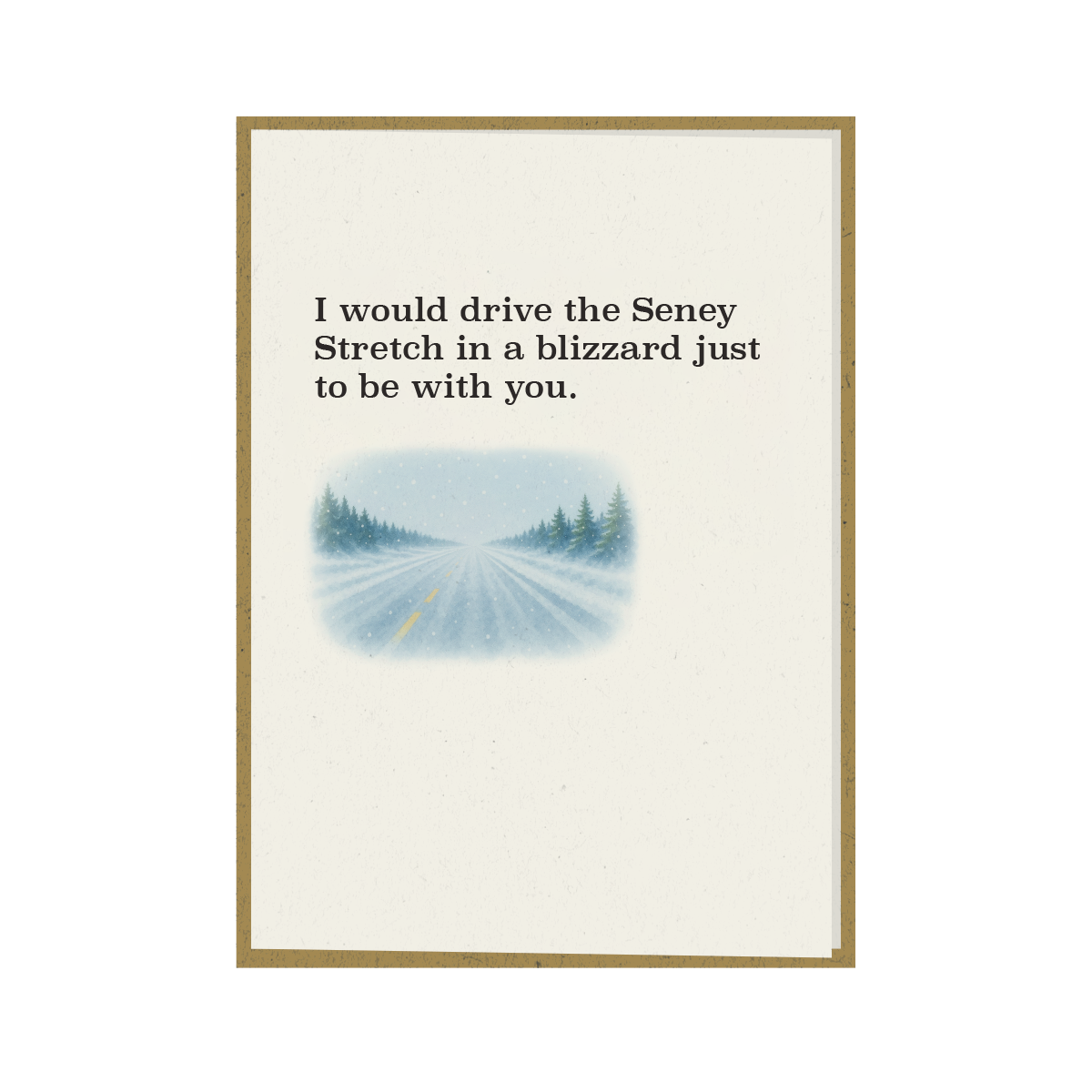
Shop U.P. Supply Co. I would drive the Seney Stretch in a blizzard just to be with you. - Greeting Card
Shop U.P. Supply Co. 100 Things to Do in the Upper Peninsula Before You Die

Michigan State Highways/Trunklines
-
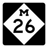
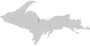
M-26
From: Greenland
To: Copper Harbor
Length: 96 miles
Formed in 1933Contains the scenic Brockway Mountain Drive, one of the most beautiful roads for seeing the fall colors
-
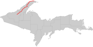
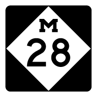
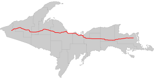
M-28
From: Wakefield
To: Dafter Township
Length: 290 miles
Formed in 1919Longest state trunkline in Michigan (excluding Interstate or US Highways)
One of two highways that span the width of the Upper Peninsula, US 2 being the other
Includes the notorious Seney Stretch, the longest “straight as an arrow” section of highway in Michigan and one of the longest stretches east of the Mississippi
Has several historic bridges including the abandoned Peshekee River Bridge in Michigamme.
-
M-35
From: Menominee
To: Negaunee
Length: 128 miles
Formed in 1919Named the U.P. Hidden Coast Recreation Heritage Route by MDOT
Contains the historic Steel Bridge which was built in 1922
The planned segment into Barga County was never built, in part because of the influence of the Hurton Mountain Club and Henry Ford
-
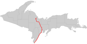
M-38
From: Ontonagon
To: Baraga
Length: 42 miles
Formed in 1968Formerly part of the planned M-35, though the Huron Mountains segment was cancelled
There was originally a M-38 in the lower peninsula that was transferred to county jurisdiction in 1961
-
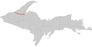
M-48
From: Rudyard
To: DeTour Village
Length: 44 miles
Formed in 1919 -
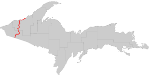
M-64
From: Wisconsin state line
To: Ontonagon
Length: 64 miles
Formed in 1930One of the last highways in Michigan to be paved in 1961
-
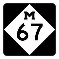
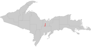
M-67
From: Trenary
To: Chatham
Length: 12 miles
Formed in 1919 -
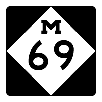
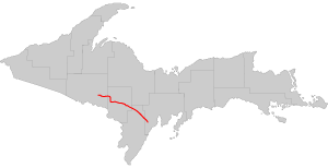
M-69
From: Crystal Falls
To: Bark River
Length: 65 miles
Formed in 1926 -
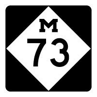
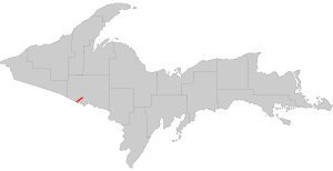
M-73
From: Wisconsin state line
To: Iron River
Length: 8 miles
Formed in 1919 -
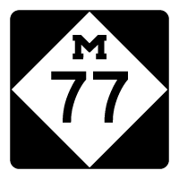
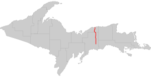
M-77
From: Blaney Park
To: Grand Marais
Length: 43 miles
Formed in 1919 -
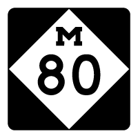
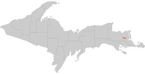
M-80
From: Kinross
To: Kincheloe
Length: 8 miles
Formed in 1994 -
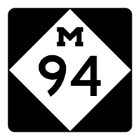
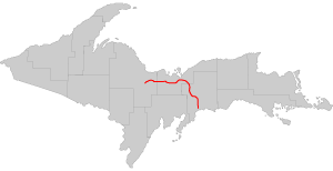
M-94
From: K.I. Sawyer
To: Manistique
Length: 87 miles
Formed in 1922M-94 crosses the Siphon Bridge in Manistique, unique for the fact that the bridge roadway is below water level, and acting like a siphon. The structure has been featured in Ripley’s Believe It or Not!
-
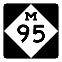
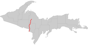
M-95
From: Wisconsin state line
To: Humboldt Township
Length: 55 miles
Formed in 1919 -
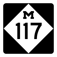
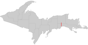
M-117
From: Engadine
To: Newberry
Length: 14 miles
Formed in 1941 -
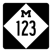
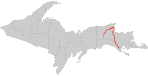
M-123
From: St. Ignace
To: Newberry
Length: 96 miles
Formed in 1936Popular route accessing Tahquamenon Falls State Park and Paradise
Designated the Tahquamenon Scenic Heritage Route
-
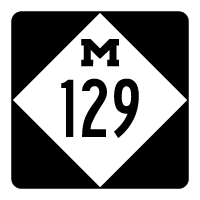
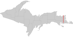
M-129
From: Cedarville
To: Sault Ste. Marie
Length: 33 miles
Formed in 1930 -
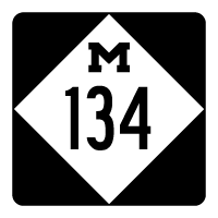
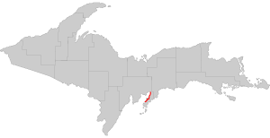
M-134
From: St. Ignace
To: Drummond
Length: 50 miles
Formed in 1939Includes the Drummond Island Ferry across the DeTour Passage, the cost of the ferry start at $12 per car, the ferry runs hourly most of the day
One of only three state trunklines in Michigan on islands; the others are M-154 on Harsens Island and M-185 on Mackinac Island
M-134 is one of two highways in Michigan to use a ferry connection; the other is US 10 between Ludington, Michigan, and Manitowoc, Wisconsin
-
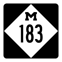
M-183
From: Fayette State Park
To: Garden Corners
Length: 16 miles
Formed in 1985 -
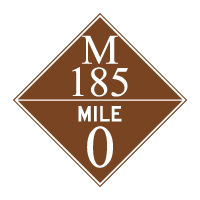
M-185
From: Mackinac Island
To: Mackinac Island
Length: 8 miles
Formed in 1933Circles all of Mackinac Island
The only car-free state highway in the United States
Over a half million people travel along the trunkline in a year
Regularly awarded as a place to bike, walk, and for its scenic views
The first city ordinances banning all motorized vehicles from the island were passed on July 6, 1898
In 1979, while filming Somewhere in Time, a car was brought on the island for Christopher Reeve’s character to drive
The next time that a vehicle was permitted on the island was on July 6, 1998, to commemorate the original ordinance that prohibited cars from Mackinac Island
The only known motor vehicle collision on Mackinac Island occurred on M-185 at the head of the Shepler passenger ferry dock on May 13, 2005, when the island’s fire truck slightly damaged the door on the island’s ambulance; both vehicles were responding to a report from the ferryboat that an injured passenger required medical attention. Before this incident, it was the only state highway that “never had an automobile accident”.
-
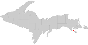
M-189
From: WI-139
To: US2
Length: 8 miles
Formed in 1932 -
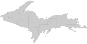
M-203
From: Hancock
To: Calumet
Length: 18 miles
Formed in 1933 -
M-221
From: Brimley
To: Brimley
Length: 3 miles
Formed in 1945The shortest trunkline in the Upper Peninsula, but is still far from the shortest in Michigan, which is M-212 in Aloha State Park
-
M-553
From: Gwinn
To: Marquette
Length: 20 miles
Formed in 1998The newest designated state trunkline in the Upper Peninsula and was originally Marquette County Road 553
The intersection with CR 480 in Sands Township is known as the Crossroads
The section of M-553 known as Glass’ Corner has come to the attention of MDOT in 2012 as one of the more dangerous stretches of highway in the state


United States Highways
-
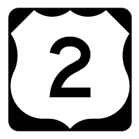
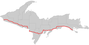
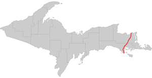
US 2
From: Ironwood
To: St. Ignace
Length: 305 miles
Formed in 1926Longest highway in the Upper Peninsula
Contains historic Cut River Bridge
The entire route goes from Everett, WA to Houlton, ME crossing through Canada -
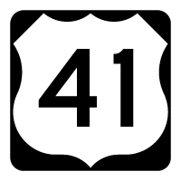
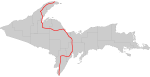
US 41
From: Copper Harbor
To: Menominee
Length: 279 miles
Formed in 1926The entire route goes from Copper Harbor, MI to Miami, FL
-
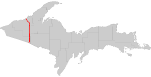
US 45
From: Watersmeet
To: Ontonagon
Length: 55 miles
Formed in 1934The entire route goes from Ontonagon, MI to Mobile, AL
-
US 141
From: Covington
To: Quinnesec
Length: 51 miles
Formed in 1928The entire route goes from Covington, MI to Bellevue, WI
Interstates
-
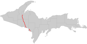
I-75
From: Mackinac Bridge
To: Sault Ste. Marie
Length: 57 miles
Formed in 1959[The only section of Interstate in the Upper Peninsula Crosses the Mackinac Bridge The entire route goes from Sault Ste. Marie, MI to Hialeah, FL]
[The only section of Interstate in the Upper Peninsula Crosses the Mackinac Bridge The entire route goes from Sault Ste. Marie, MI to Hialeah, FL]

Hopefully this will help you better navigate across the Upper Peninsula. There’s plenty to do and see, but the best stuff is always off the beaten path. A post on county roads will be much more extensive!
Information pulled from Wikipedia


