Real Men of Genius: Isle Royale Edition
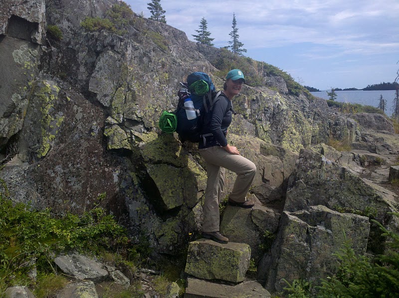
This post and photos brought to you by two friends of Yooper Steez, Allison Rueff (a native Yooper from Marquette living in Cincinnati) and Kate Rose (from Novi living in San Francisco), former MSU roommates who finally made it up to Isle Royale after years of talking about it. It lived up to all the hype, and they praise God for whatever topographic mistake has yielded this Michigan treasure.
Today we salute you, Mr. Shakyhands-Cartographer-That-Gave-Isle-Royale-To-The-U.P.-Instead-of-Canada. Some people say it was the foresight of our founding father, Benjamin Franklin, who gave us Isle Royale under the Treaty of Paris. But we know better. When you were employed to draw that boundary in 1783, your pencil moved gracefully from Sault Saint Marie and across Thunder Bay…and suddenly you had to sneeze. And in that nasal explosion, you unwittingly gave Michigan a spot of pristine wilderness that would be cherished for generations. Mostly by generations of moose, but hey – that’s the U.P.
It didn’t matter to you that the island was 15 miles from Canadian shores. No no. You deemed that it would be part of a landmass 56 miles away, so that only the hardiest of folks would come over looking for traces of copper on the island’s shores.
Wolves that walked over on the ice shelf from Ontario years ago greet miners with an, “Eh der!”, only to face bewildered looks – the Canadian traditional greeting lost in translation.
Boundaries zigging. Boundaries zagging. Rand McNally’s got nothing on you. So join us on Isle Royale, Mr. Shakyhands Cartographer. Because if you seek a pleasant peninsula IN AMERICA…look about you.


