Discover the Upper Peninsula: A Virtual Web Tour
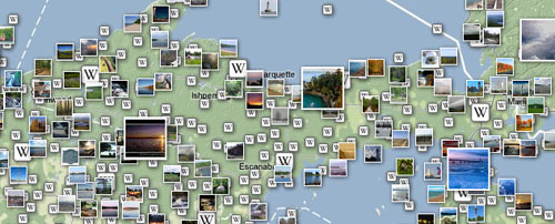
Tourist season is coming! Time to travel, camp, go sight-seeing and vacation in the Upper Peninsula. If you’re a local don’t forget to be a tourist in your own town this summer and visit all the places you’ve read about but have never visited. For tourists and locals alike we put together a list of resources to help you plan your Upper Peninsula vacation, road trip, or afternoon drive.
However, this isn’t your typical tourist guide, you won’t find any brochures here. Here are a few great sites to explore places you want to visit this summer. From Mackinac Island, Tahquamenon Falls, Pictured Rocks, Lake Superior, to the Porcupine Mountains and hundreds of places between, you can browse photos, read the history, and see exactly what’s available on the route you’re traveling.
Panoramio — Pictured Rocks
Explore Wikipedia in Google Maps
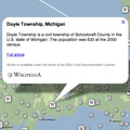
Google Maps is a powerful tool. You can also YouTube videos by region if you have a Google account, just browse their directory for the YouTube application. You’ll also find dozens of other awesome Google Maps tools such as real estate, weather, elevation contours, and more.
Browse Flickr Map — Escanaba
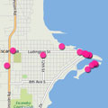
Flickr also has a featured called Places. Here’s an example of Marquette where you can find users, area groups, photos, featured photographers, and even get the weather.
Everywhere Magazine — Ambassador
